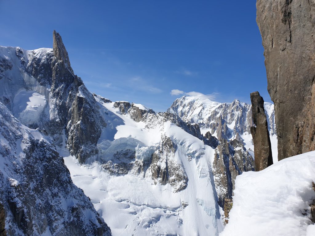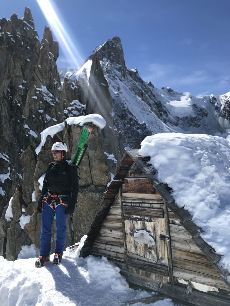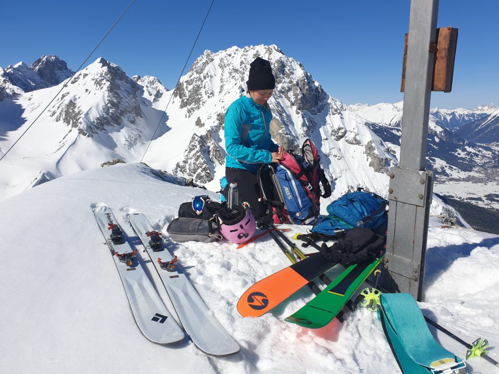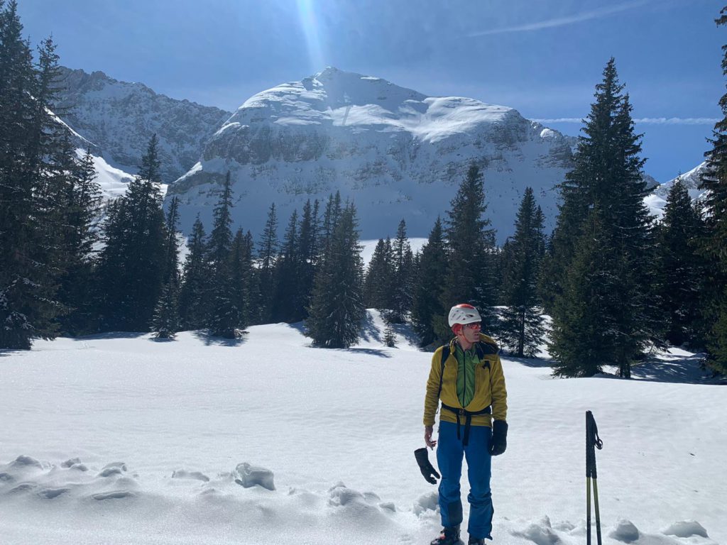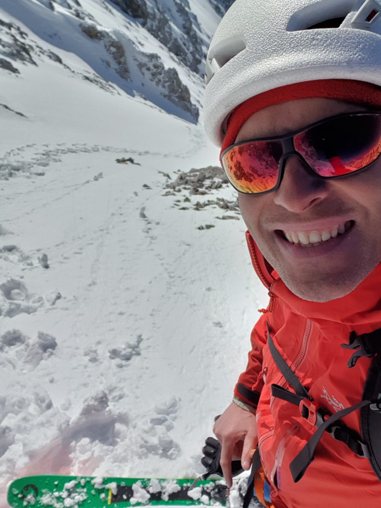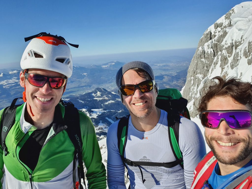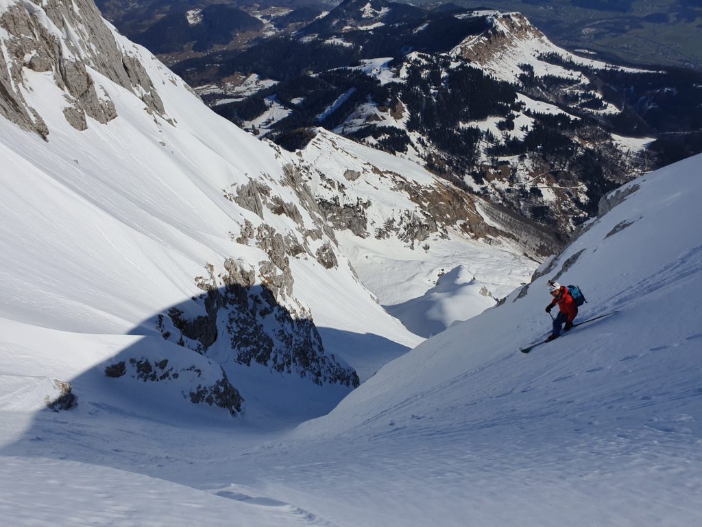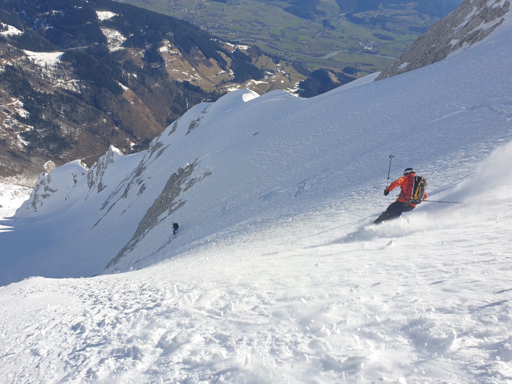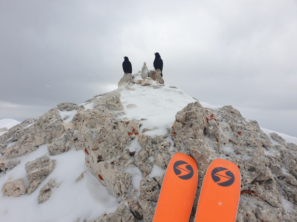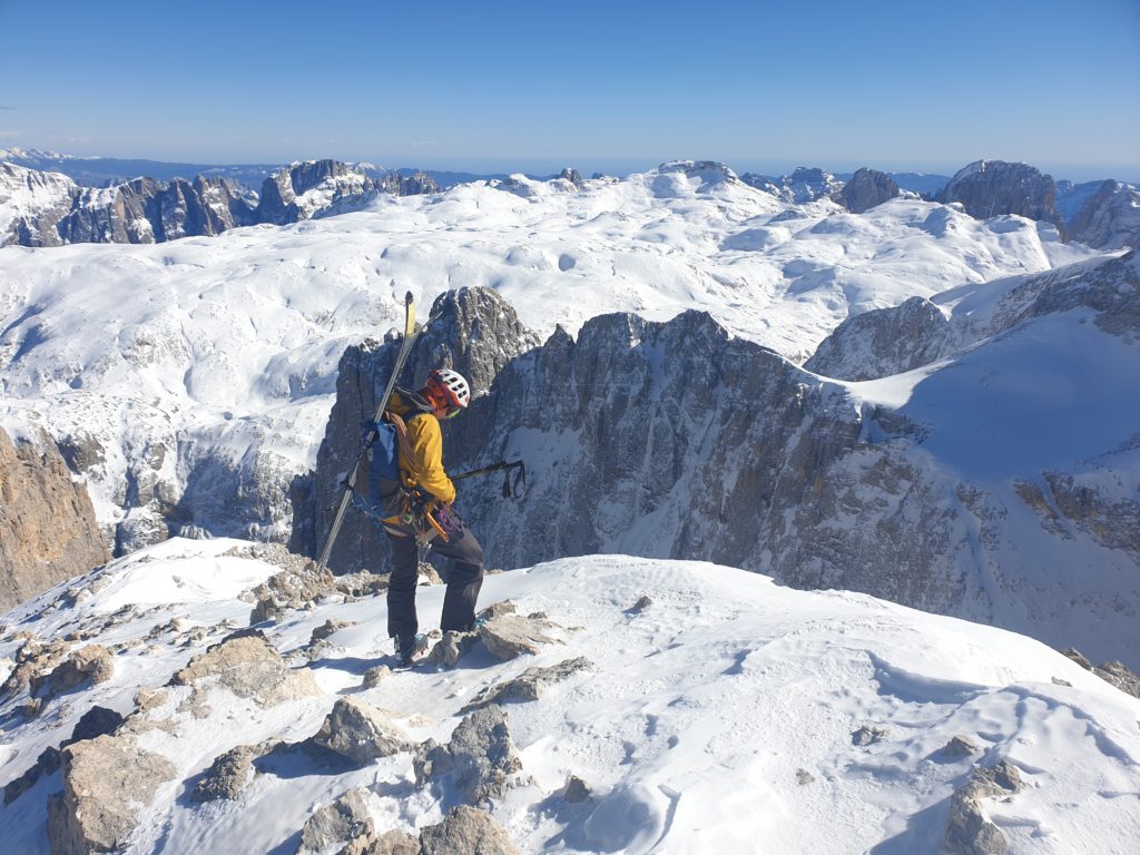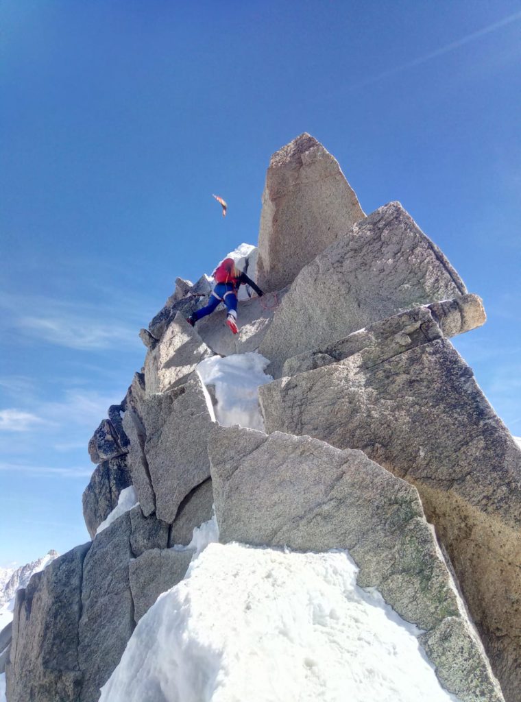
Building on a great winter with many outings with friends (check the blog post „Looking back on an awesome winter“!) and excellent training I am now on my way to K2 basecamp.
K2 with pre-acclimatization
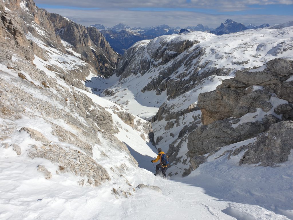
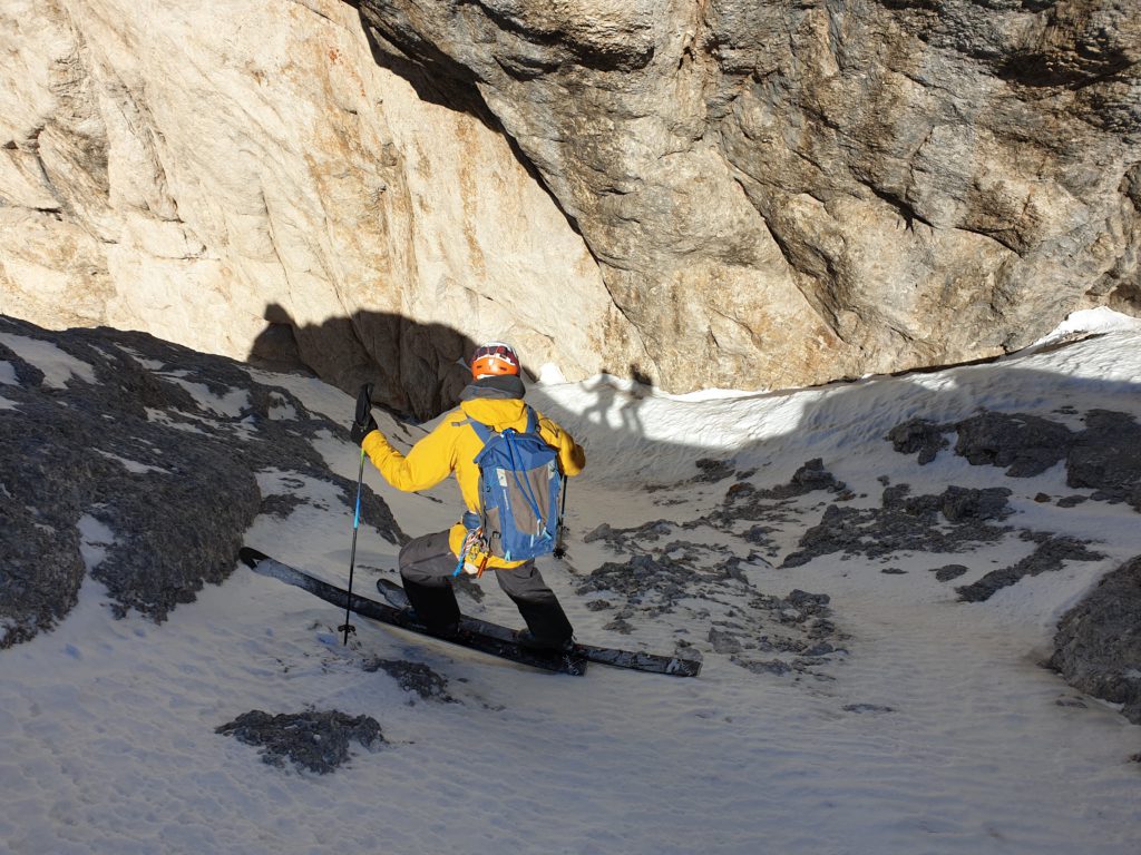
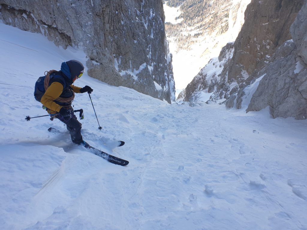
As last year for Mount Everest I have done a pre-acclimatization routine at home where I slept and trained as much as possible under hypoxia to simulate the high-altitude environment and hopefully replace as many mountain acclimatization rotations as possible ;). I feel quite good and I believe that the pre-acclimatization routine went very well and better than last year. I am using the system from Hypoxico / Furtenbach Adventures and it works really well. For the altitude of Munich I was able to achieve a simulated altitude as high as 7500m which is really good.
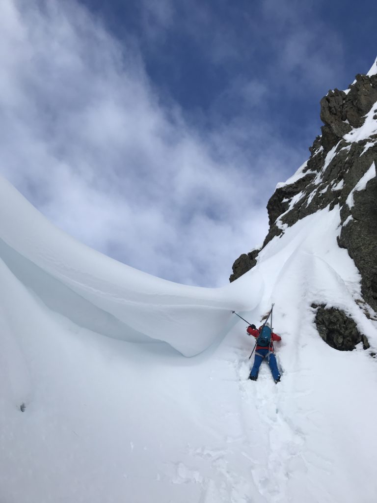
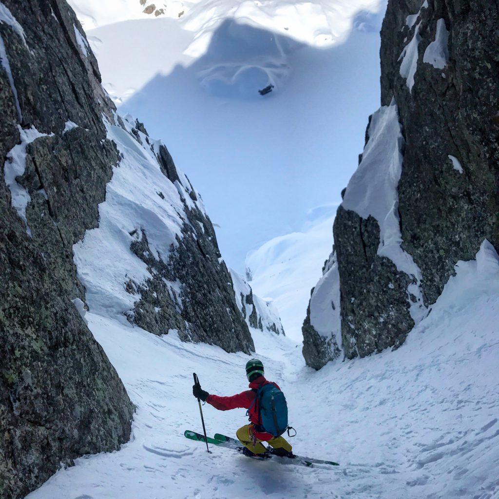
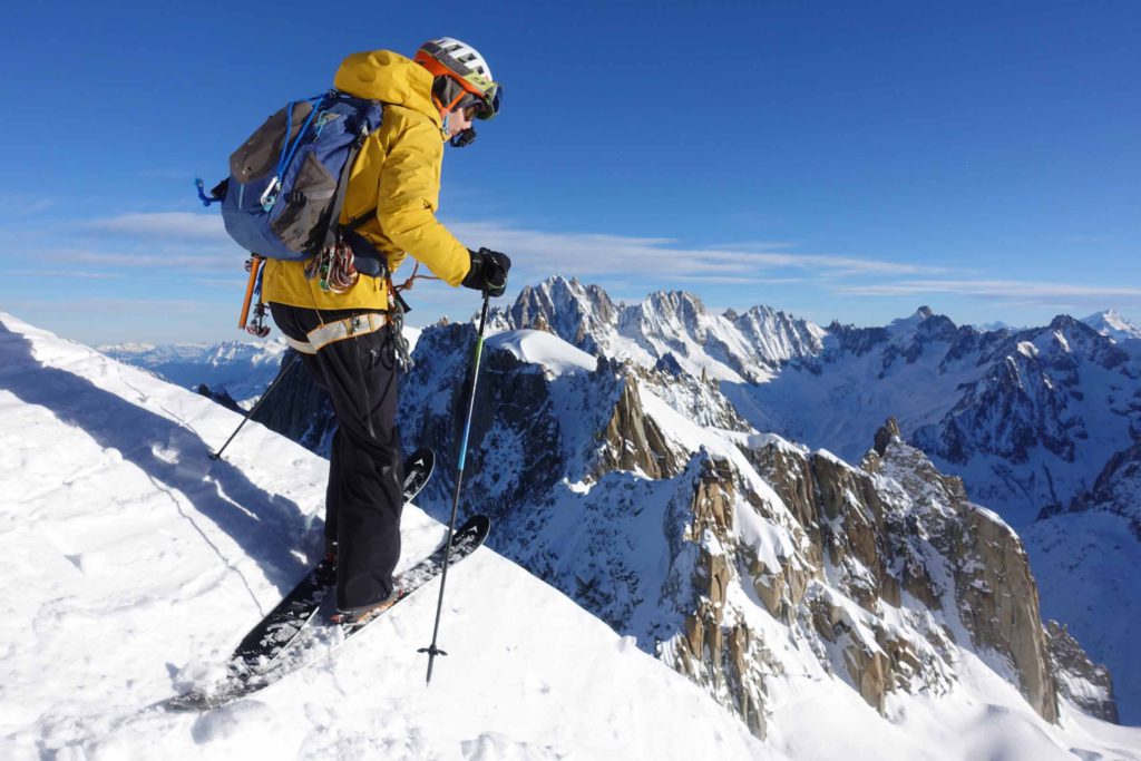
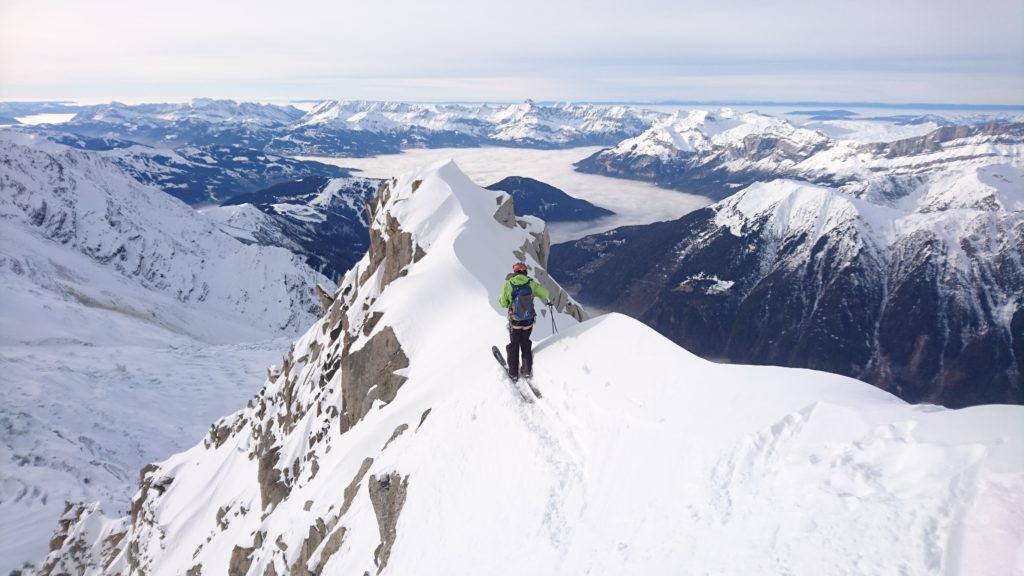
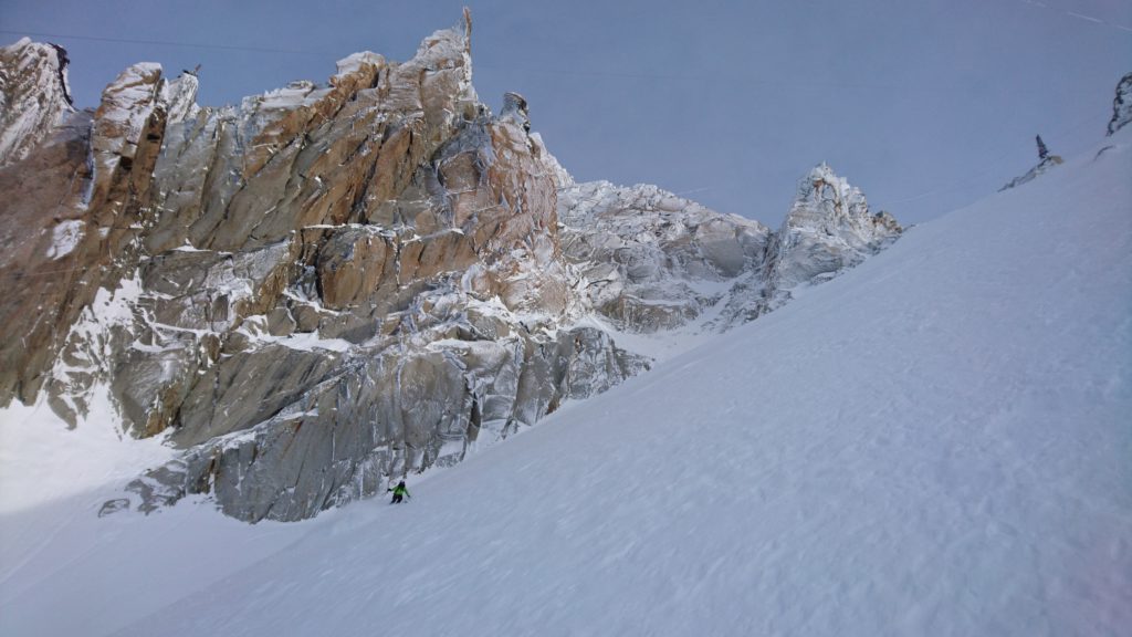
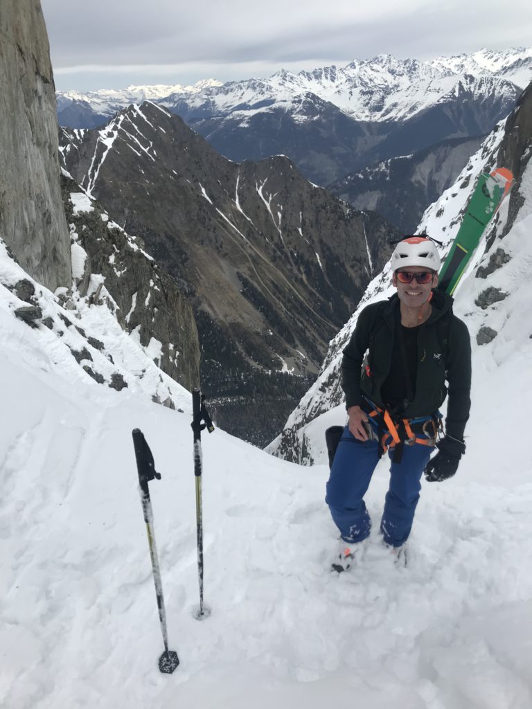
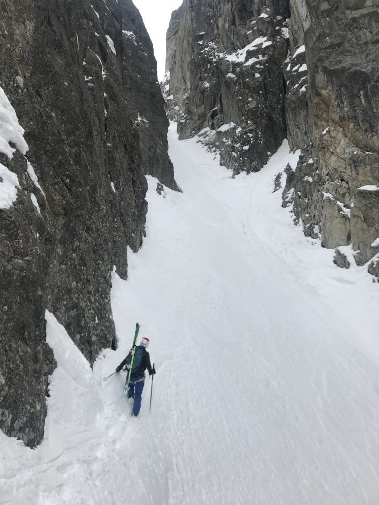
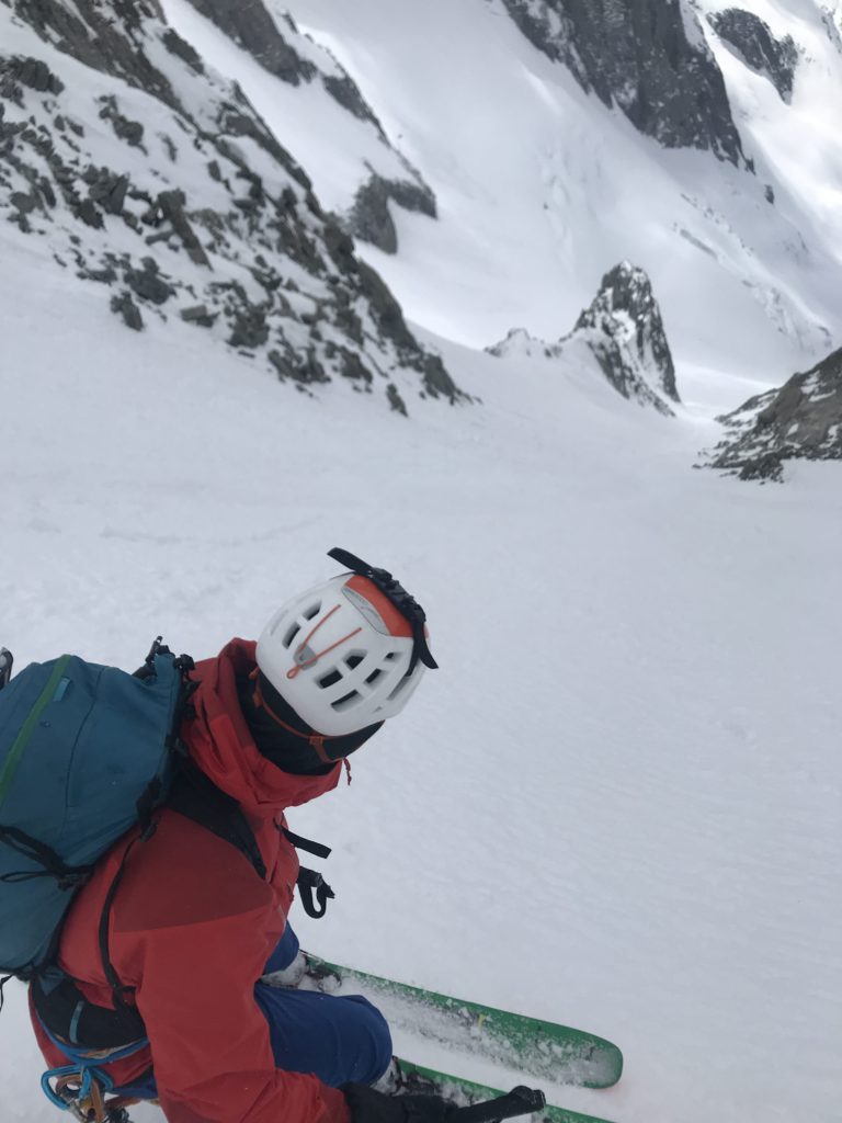
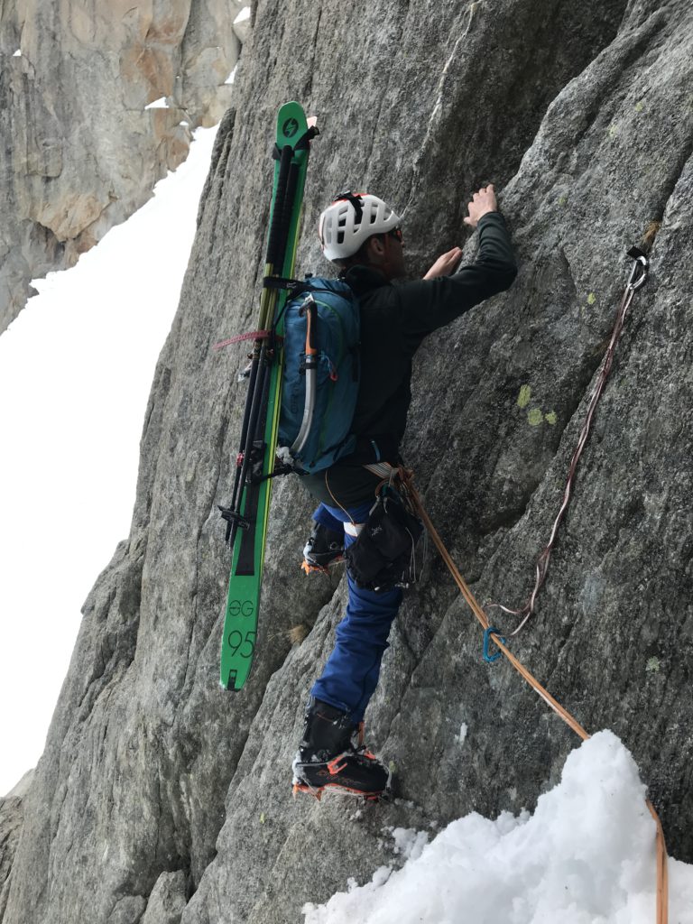
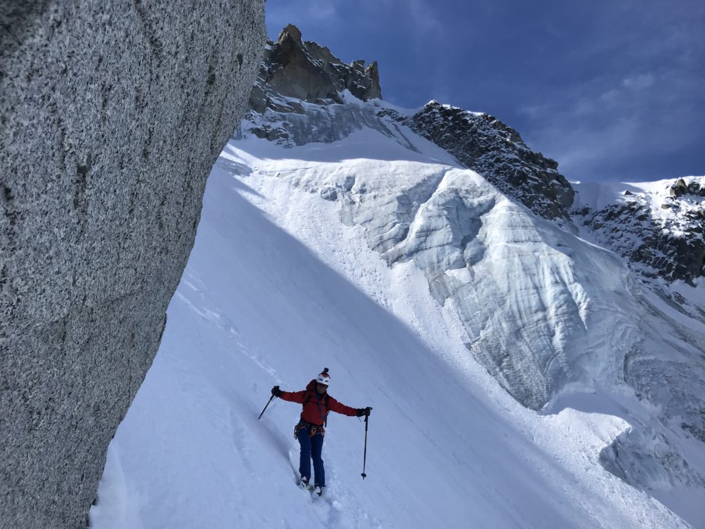
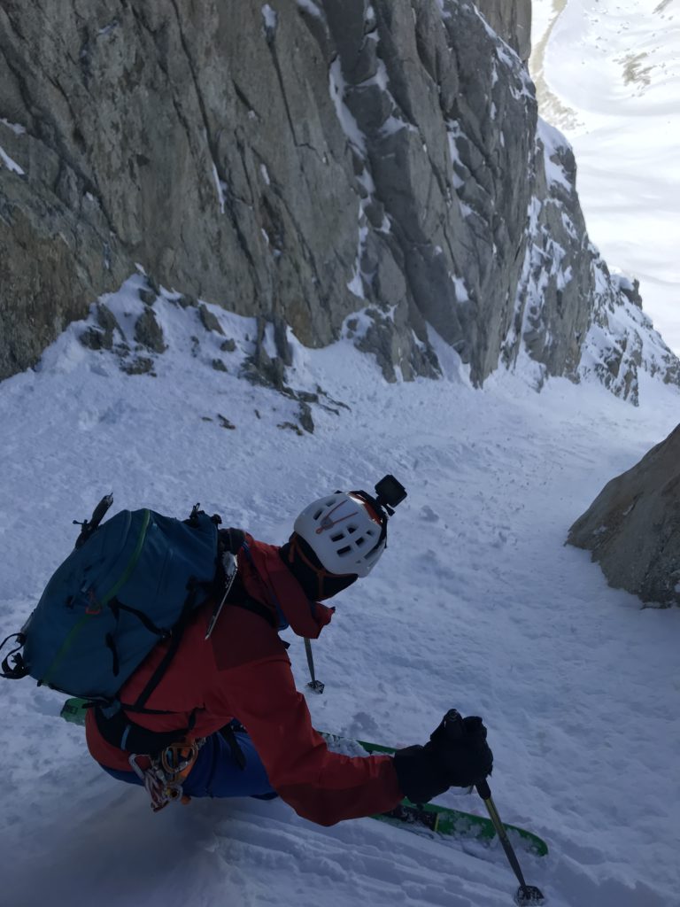
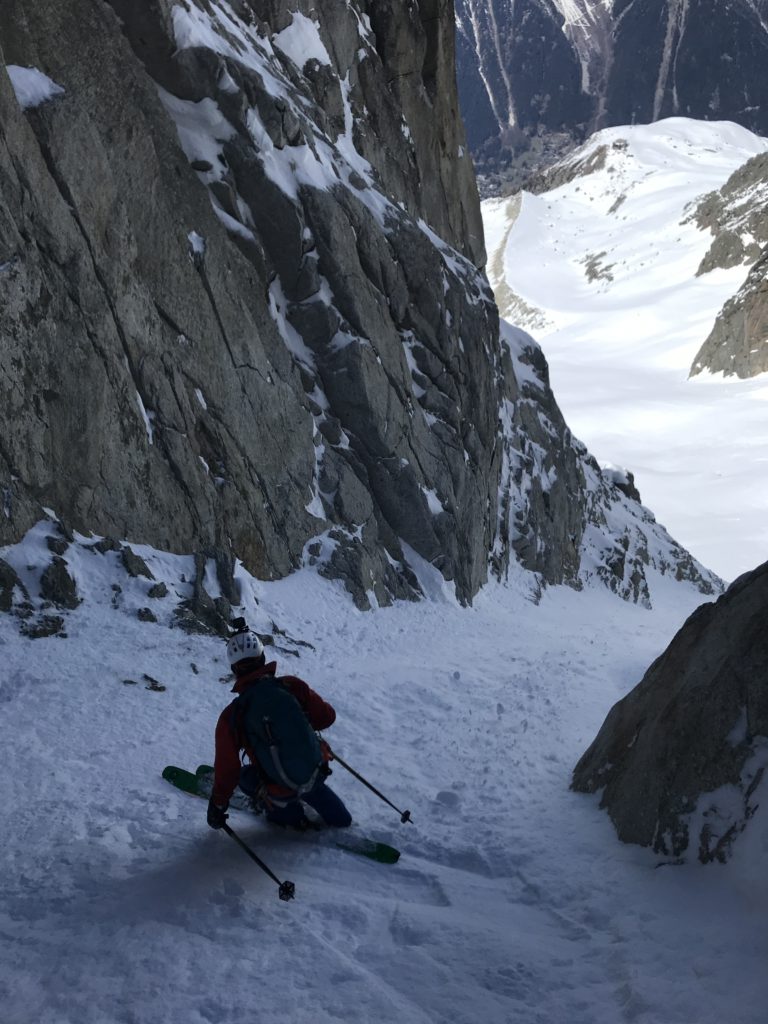
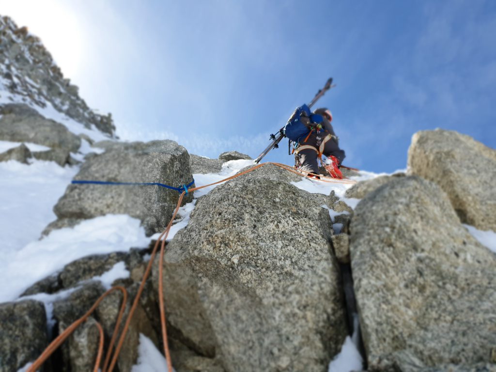
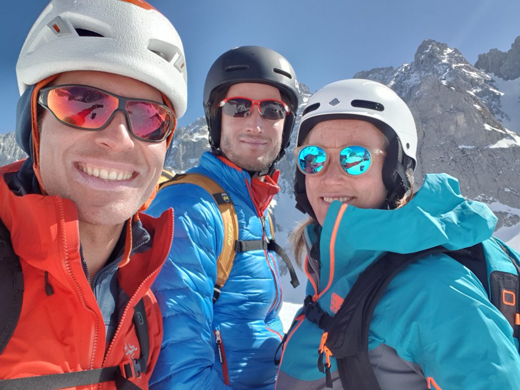
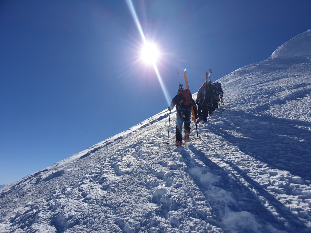
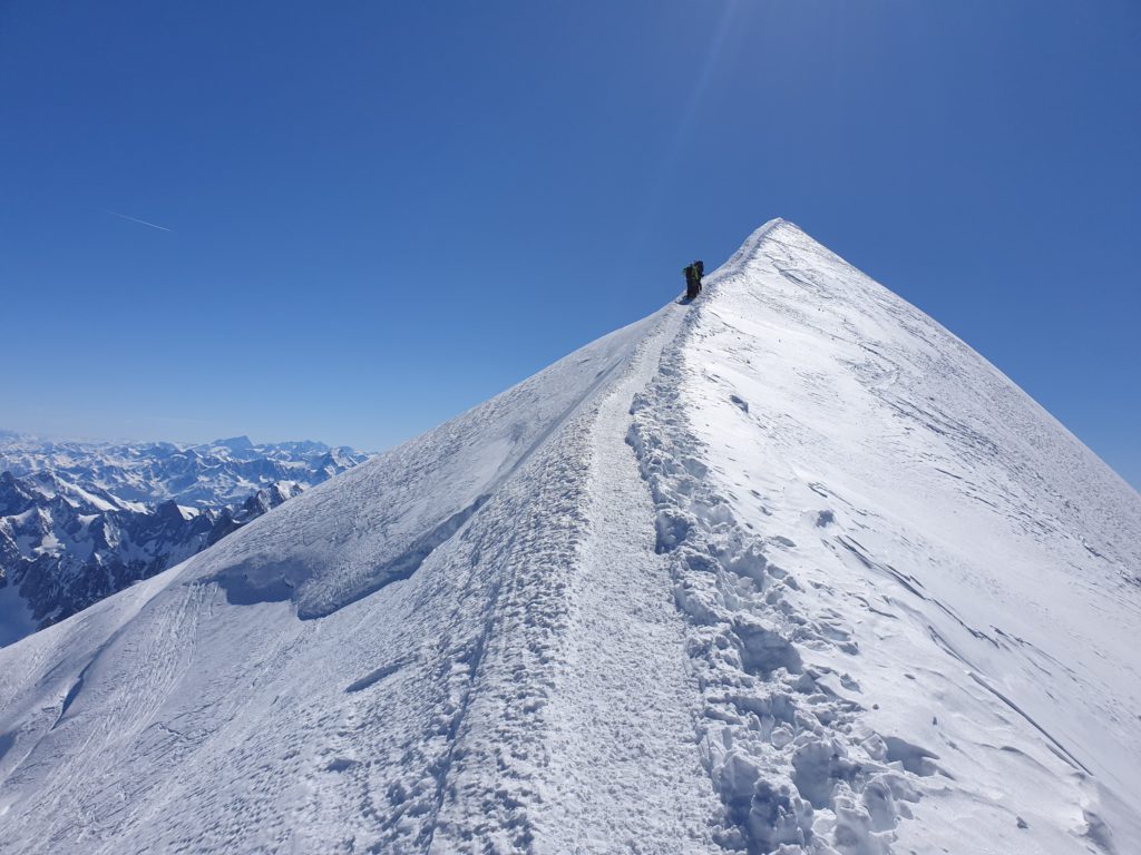
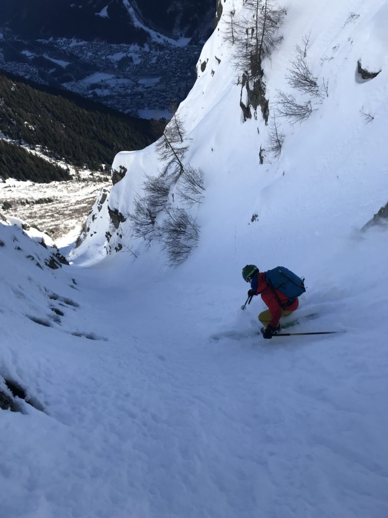
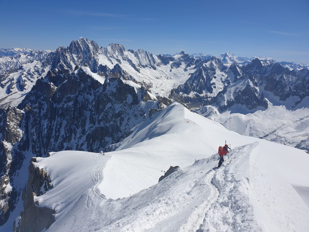
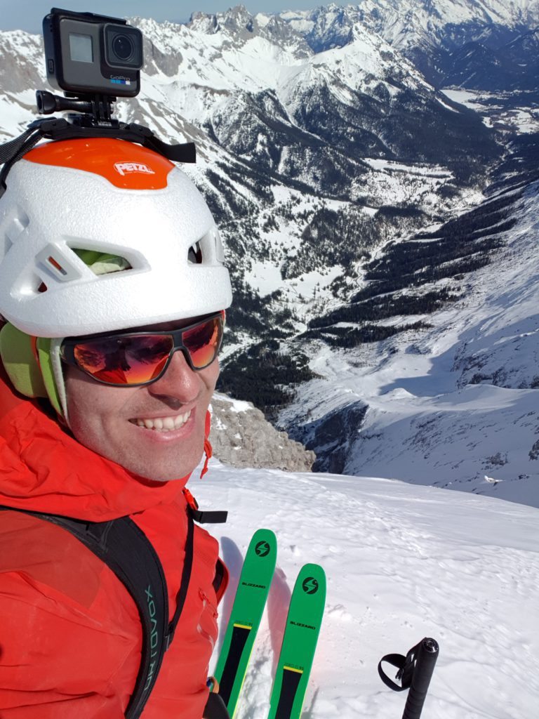
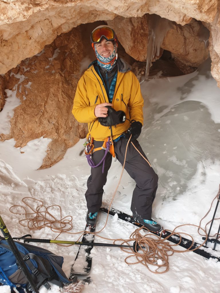
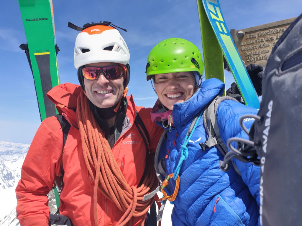
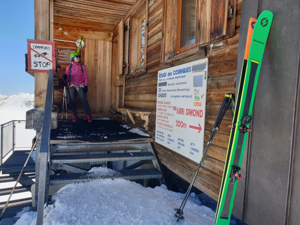
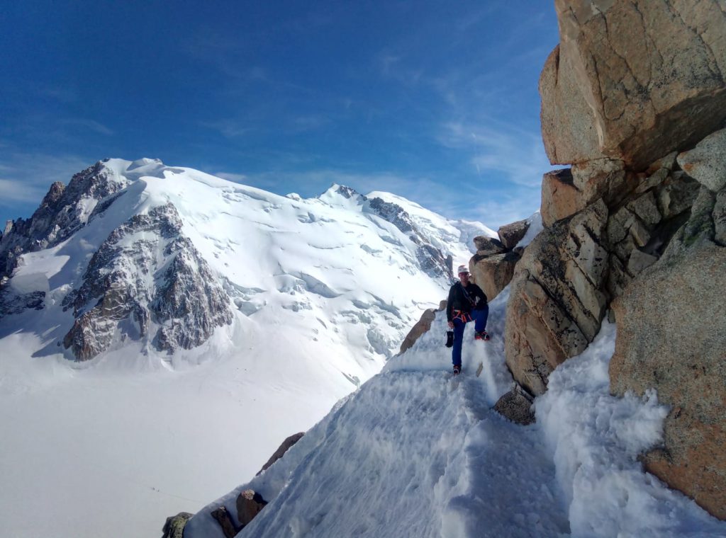
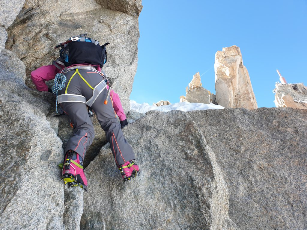
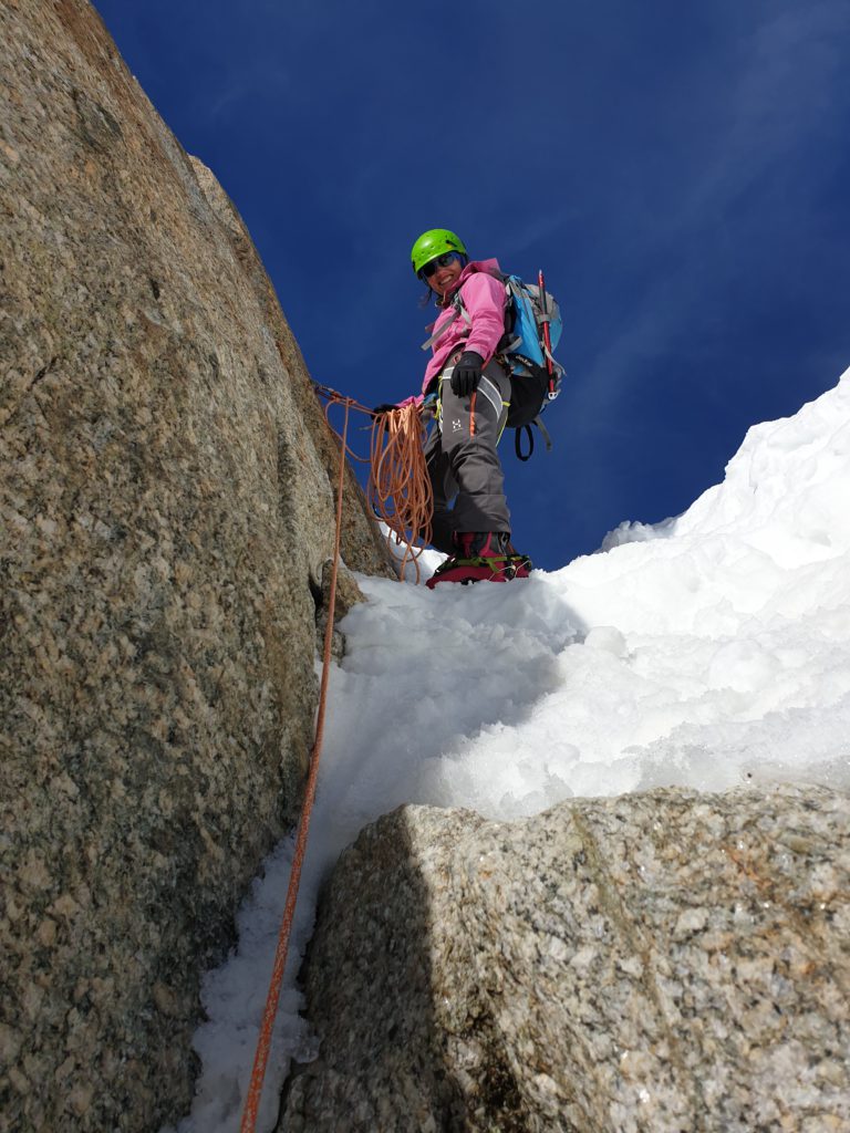
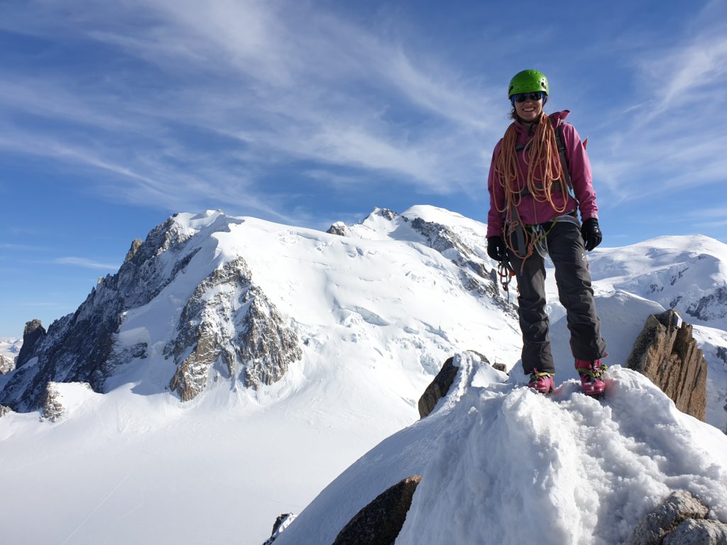
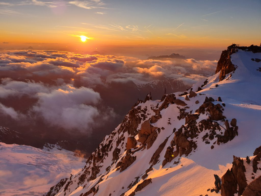
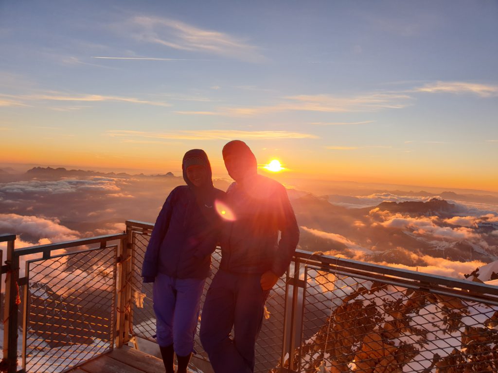
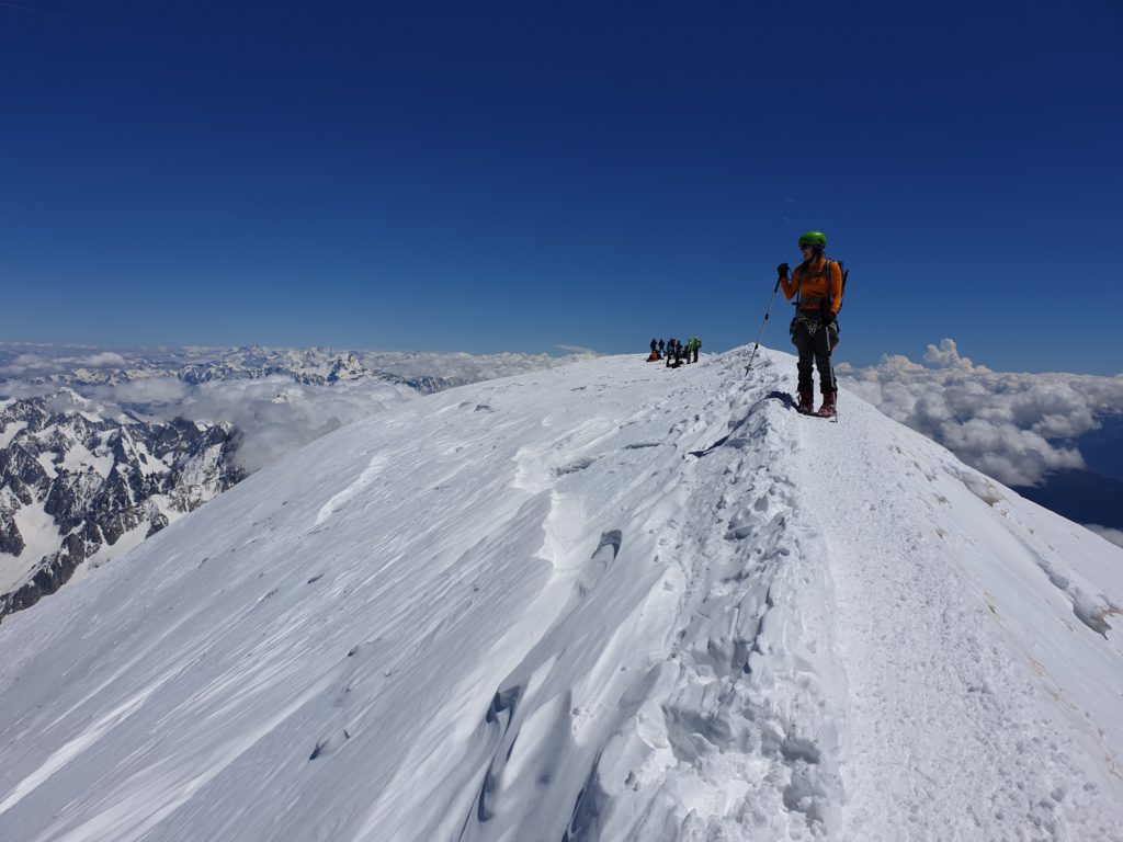
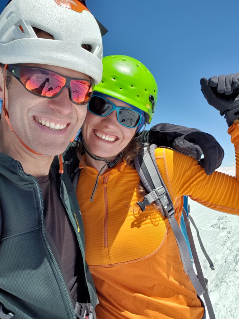
For the active hypoxia training with the generator I did mainly interval training from 40-60 minutes with 5 minutes high intensity and five minutes low intensity. Every third time I replaced the classical interval training with an intermittend training where the high intensity is done with mask on and the low intensity with mask off, that is, breathing normal air. Other than training with the generator I did as many training sessions on higher mountains as possible, I did for example go twice up to Mont Blanc and once up to Großglockner in the weeks before my departure.
Overall I collected about 300 hours of hypoxia training within six weeks before my departure which is pretty much the goal I had when I started.

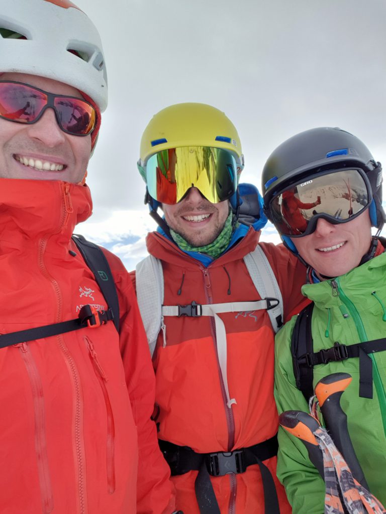
The K2 team
The team for K2 consists of five people: One mountain guide and four team members. Our mountain guide is Max Berger from Austria, supercool guy and an extremely strong climber and mountaineer, that is awesome. I am very much looking forward to work with him. Then there is an American, David, who climbed Everest without supplemental oxygen (which is quite a feat as most of you know from my experience ;)), Anja from Germany, Dani Arnold – one of the strongest mountaineers worldwide (I have for example climbed Eiger North Face with him), and myself. Dani and Anja are already in the basecamp and will start acclimatization runs a bit earlier. Max and I are travelling together from Europe to basecamp. David will arrive beginning of July. Most of us have done the pre-acclimatization.
The journey and next days
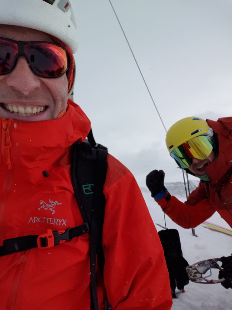
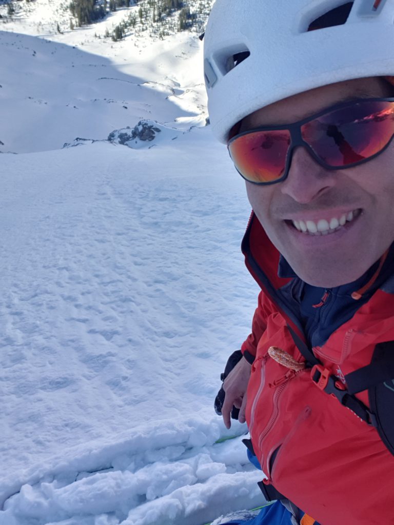
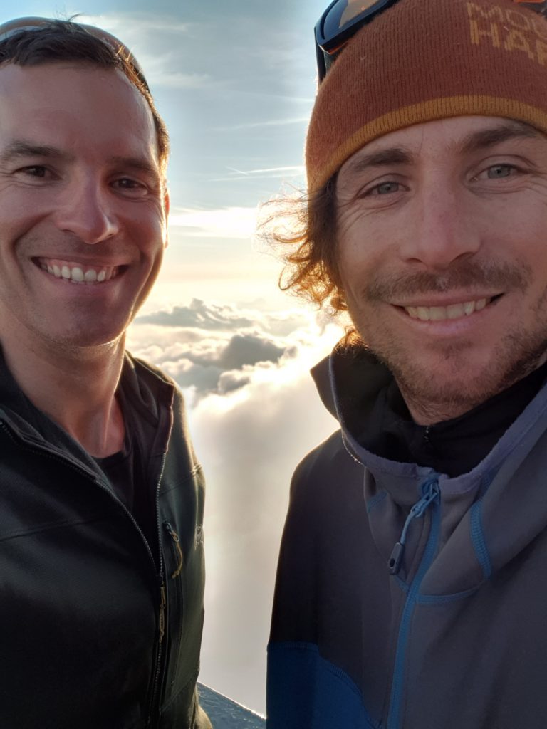
I left Germany on Wednesday, June 19th, flew to Istanbul where I met Max, and we then travelled together to Islamabad where we arrived on Thursday.
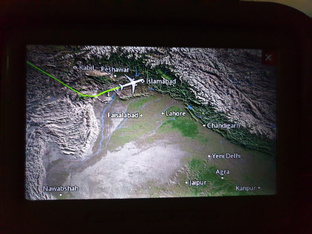
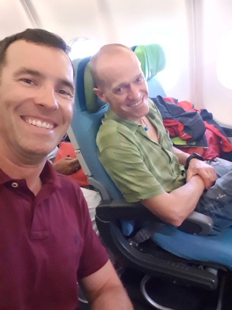
Max und Eduard auf dem Weg nach Islamabad
Unfortunately, Turkish Air had managed to leave my baggage behind in Istanbul so I had to delay my flight to Skardu. But luckily on Friday everything arrived early in the morning and I was able to catch the 8am flight from Islamabad to Skardu. The waiting time made me somewhat nervous because my entire expedition equipment is in the bags…but all is well now!
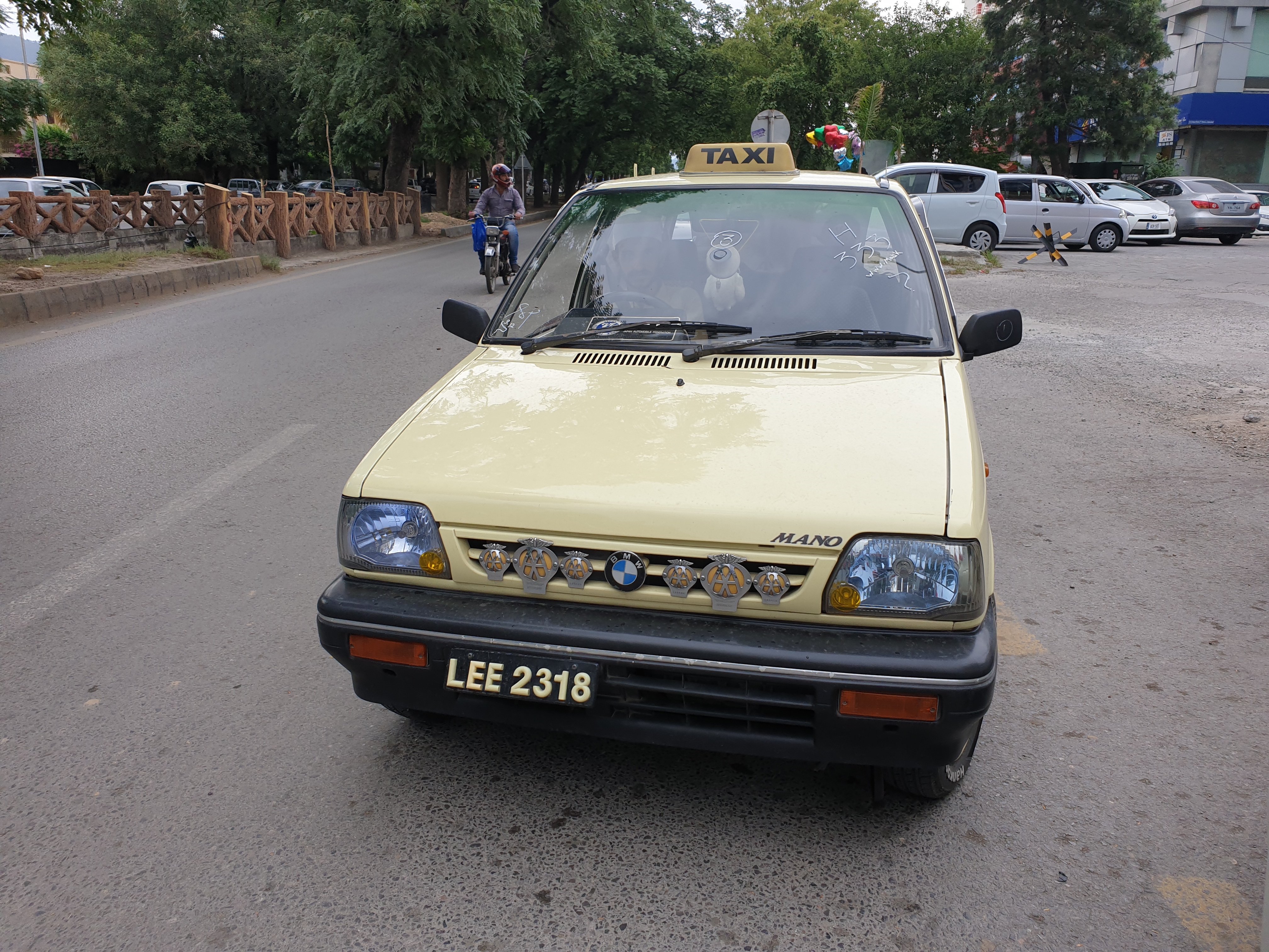
Passing time in Islamabad
While waiting for my bags in Islamabad I took the chance to stroll around a little bit. I got lucky and could catch a spy shot of a new BMW car model which seems to be secretly tested in Islamabad:
And in the evening I had a yummy dinner in the „New Kabul Restaurant“ (near Safa Gold Mall) which I can highly recommend if you ever find yourself in Islamabad and are hungry!
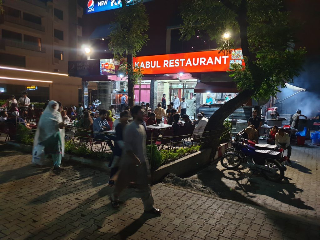
New Kabul Restaurant 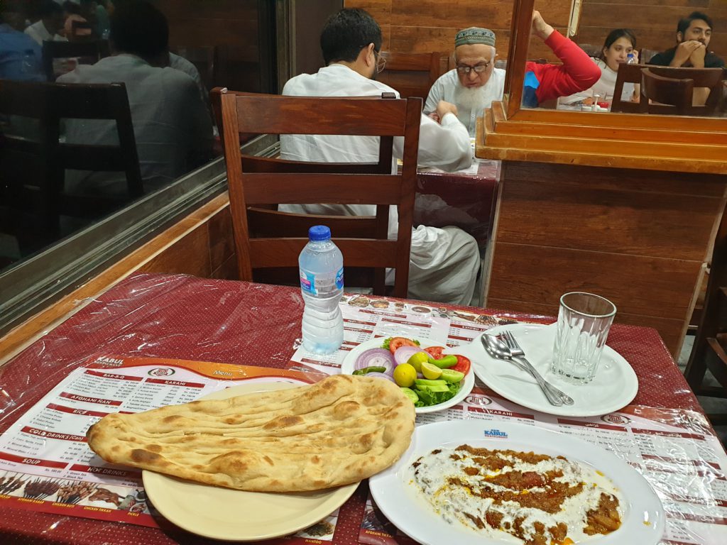
Yummy dinner
Arrival in Skardu on Friday, 21 June 2019
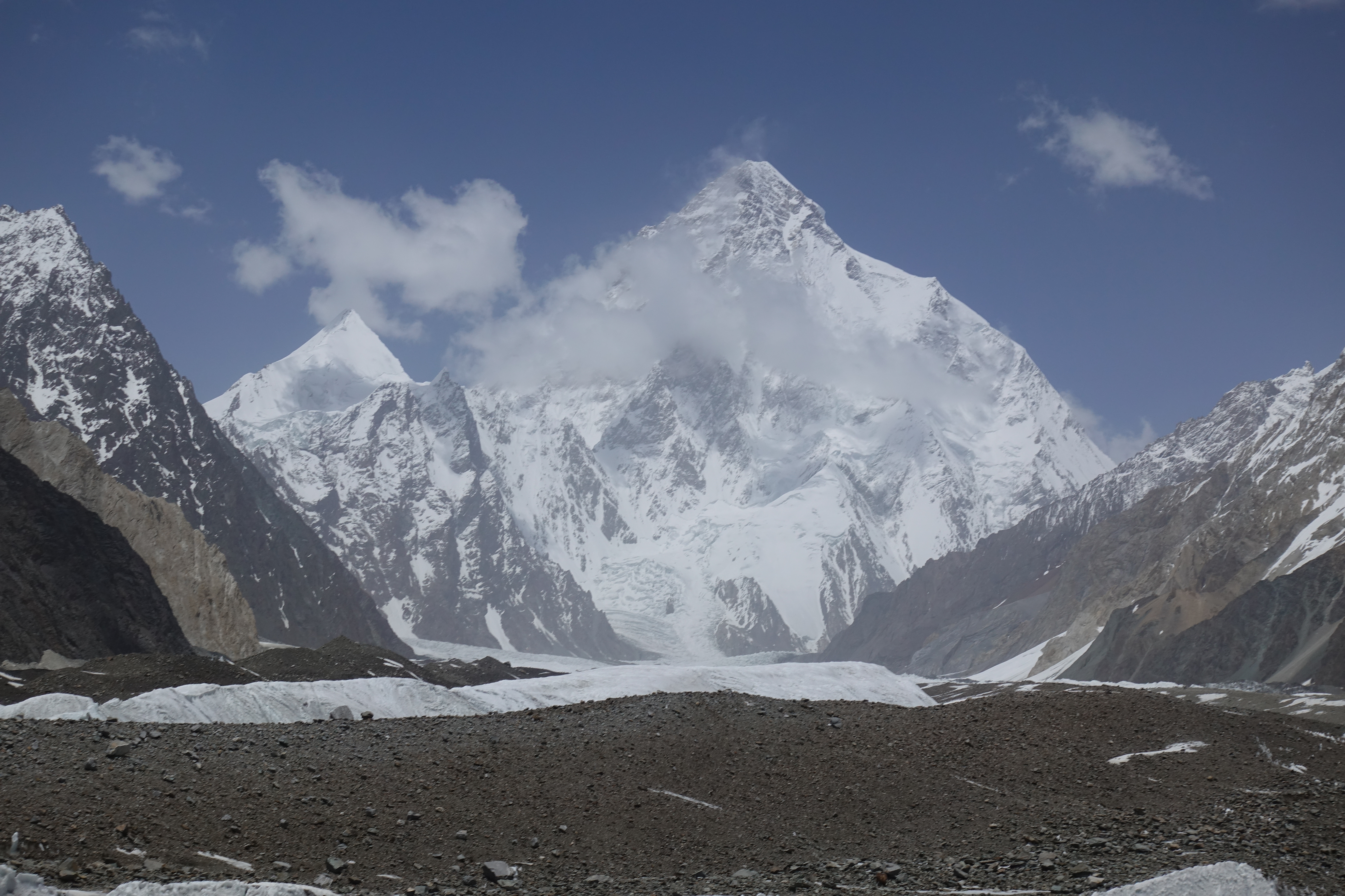
And on Friday I finally reached Skardu. On the way to Skardu we had a nice view onto Nanga Parbat. Skardu is otherwise as it was two years ago: Dirty and noisy ;). So we just stayed in the hotel and I was working on my blog.
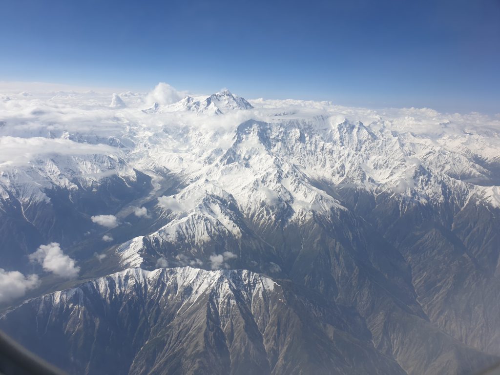
Nanga Parbat from the air 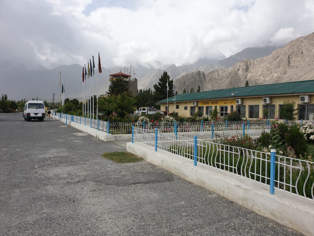
Skardu airport 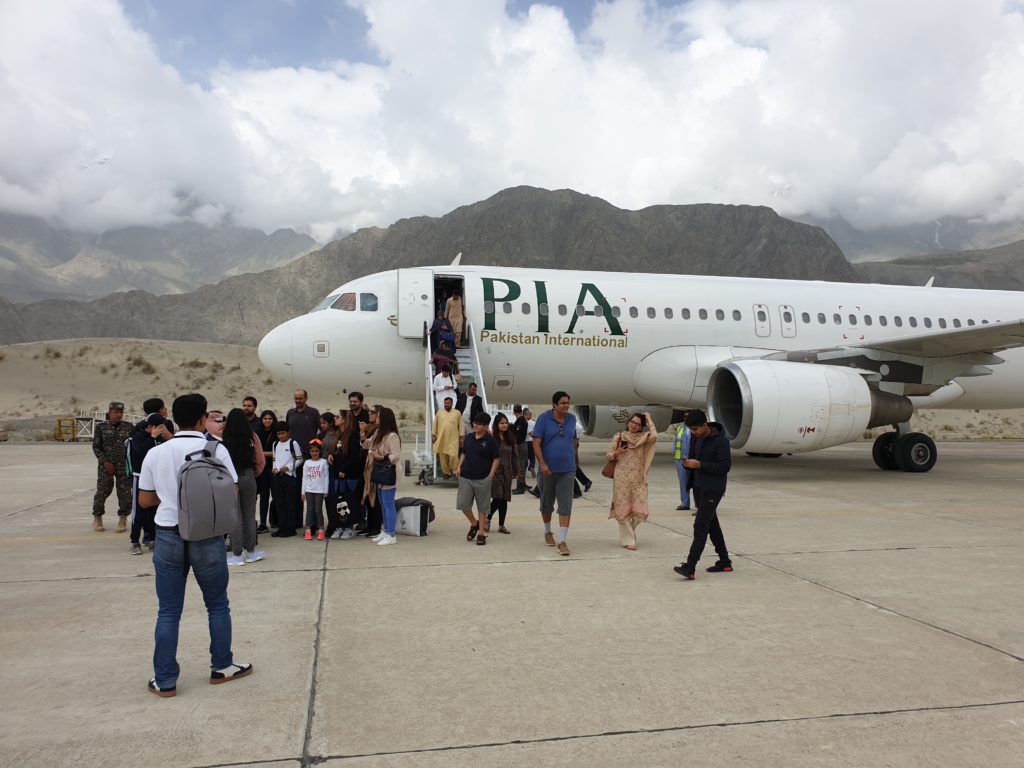
Skardu airport
The next days: Going do Askole, and walking to basecamp
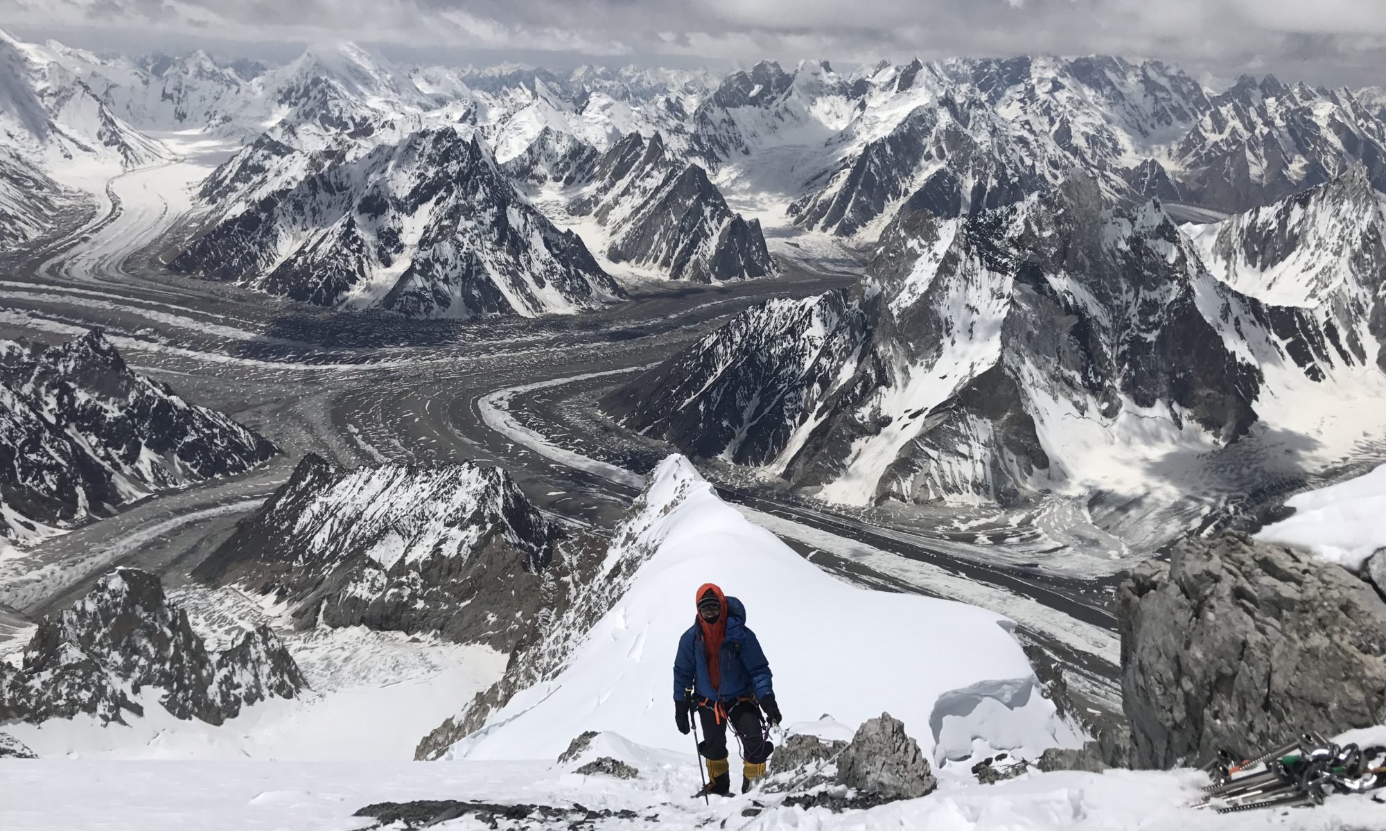
We spent the day in Skardu waiting for some paperwork. On Saturday we will continue by Jeep to Askole where we will then spend the night. Then on Sunday we will start the four-five day walk to the basecamp. We will walk up the Baltoro glacier, pass the Trango Towers and Masherbrum with its great ridge, then arrive at the breathtaking Concordia where we will then turn left and continue some hours to Broad Peak / K2 basecamp.
Probably no internet connection until end of June
There is some probability that I will not be able to send any updates until end of June as I have not brought a hand-held satellite device with me this time but will only have access to a sat-connection in the basecamp. But at least it will then be a high-speed connection ;). Check www.furtenbachadventures.com for updates in the meantime.
In order to comment btw you have to click on the blog post directly (in the menu), then a commentary field opens up. And: The blog is not yet fully optimized for mobile usage, my apologies. I will work on that as soon as I have an internet connection again.
Outlook
I am very excited! We are a superstrong team which is good as then there will be a lot of motivation and power to push through also in possibly harsh conditions. On the other hand I heard there seems to be a lot of snow this year, and there seems to be a large Chinese team planning to go to K2 as well. They are usually known to be not the fastest and it is a large group which might cause traffic jams at the cruxes. On the other side that means there will be a lot of people and Sherpas to make a path through the snow. But we will know more as soon as I arrive in the basecamp!
Until then, I wish you all a great summer, talk to you soon!